


Texas: Mapping the Lone Star State Through History: Rare and Unusual Maps from the Library of Congress
$15.00
1 in stock
Description
Authors: Virga, Vincent and Blevins, Don
Publisher: Globe Pequot Press
Pub Date: 2010
Binding: Hardcover
Condition: Book: Fair. Binding tight. No tears, bends or folds. Previous owner’s blindstamp on upper corner ffep. Printed boards. Edge and corner wear. Dust Jacket: NOT price clipped (no price indicated) Translucent dust jacket with printed title and authors over printed boards. Corner wear.
Notes: Historical maps of Texas, parts of Texas, Texas bigger than Texas, Texas as a part of Mexico, and Texas “It’s a Whole ‘Nother Country”. Again, as with An Atlas of Historic New Mexico Maps (see https://joethebookguy.com/shop/new-mexico/an-atlas-of-historic-new-mexico-maps-1550-1941/ ) is the lack of fine detail (Emory’s boundary map of 1855–what’s the point? Okay, I get it. It’s a historical map, but you can’t read the damn thing.). To its credit there are several city maps (Beaumont, Dallas–in three dimensions, Galveston) that provide some fine detail. All maps from the Library of Congress Geography and Map Division (unless otherwise noted).
You may also like…



Related products
-

The Four Churches of Pecos
$4.00 Add to cart -

Fantastic Archaeology: The Wild Side of North American Prehistory
$3.00 Add to cart -

Canyon de Chelly National Monument
$5.00 Add to cart -
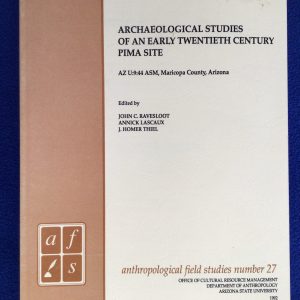
Archaeological Studies of an Early Twentieth Century Pima Site: AZ U:9:44 ASM, Maricopa County, Arizona
$20.00 Add to cart