

A Cultural Resource Inventory and Assessment of McGregor Guided Missile Range, Otero County, New Mexico (3 Volume Set)
$50.00
2 in stock
Description
Authors: Volume 1: Beckes, Michael R.; Dibble, David S.; and Freeman, Martha Doty
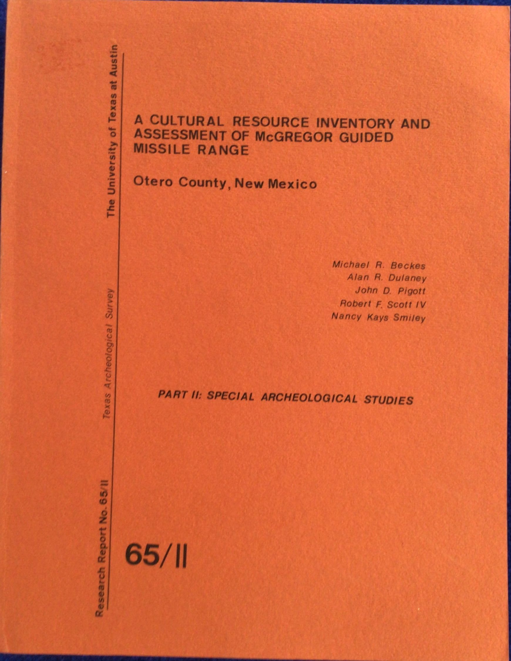
Volume 2: Beckes, Michael R.; Dulaney, Alan R.; Pigott, John D.; Scott, Robert F. IV; and Smiley, Nancy Kays
Volume 3: Kenmotsu, Ray D. and Pigott, John D.
Publisher: Texas Archeological Survey
Pub Date: 1977
Binding: Paperback
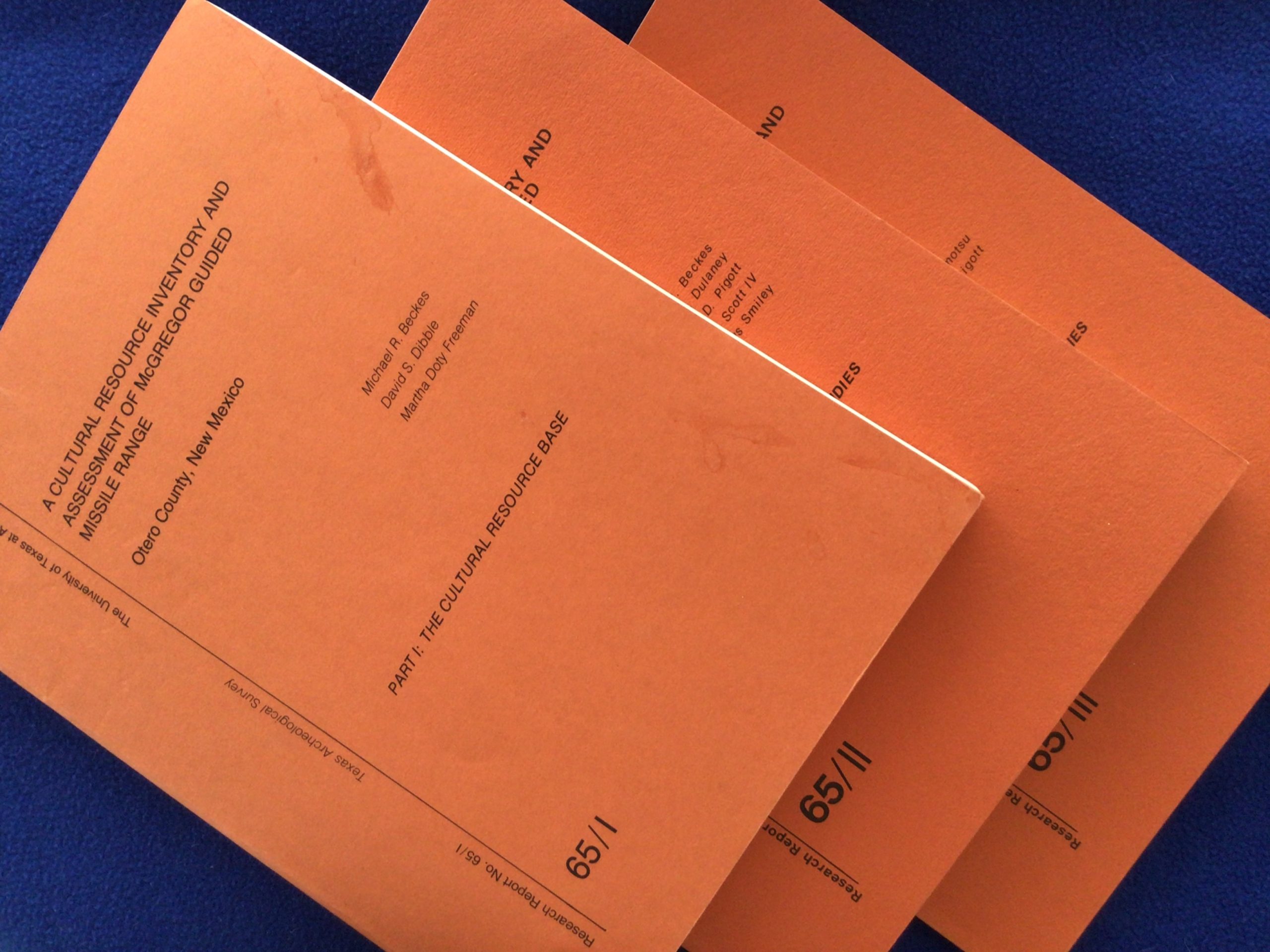
Condition: 2 sets. SET 1 (SR): Volume 1: Fair. Binding tight. No tears, bends or folds. Previous owner’s name stamped on upper corner title page. Two smudges/spots on recto edge of front cover (water?). See photos. Sticker residue to upper front cover corner near spine head. Includes one fold out diagram. Edge and corner wear. Volume 2: Fair. Binding tight. No tears, bends or folds. Previous owner’s name stamped on upper corner title page. Sticker residue to upper front cover corner near spine head. Includes one fold-out map. Very light edge and corner wear. Smudging to bottom text block. Volume 3: Fair. Binding tight. No tears. Previous owner’s name stamped on upper corner title page. Lower front cover corner has approx. 1″ bend, extends through first 5 pages of text. Sticker residue to upper front cover corner near spine head. Includes 3 fold-outs. Edge and corner wear. Smudging to bottom text block. SET 2 (RB): Volume 1: Fair. Binding tight. No marks, folds. Mid-front cover has a small area of discoloration that is actually a small area of wear, missing just a very small piece of the cover. Not a hole, just worn. Includes one fold out. A couple of smudges to front cover. Lower rear cover corner has a slight bend, but that corner shows signs of being dropped on that corner. There’s an approx. 1/8″ bend on that lower corner through the last 60 pages of the text. Doesn’t affect the text, and you have to turn the volume sideways to see it. Very light edge wear. Volume 2: Fair. Binding tight. No marks, tears, folds. Upper and lower front cover corners both have some degree of wear. Upper corner has an approx. 2″ crease with wear, lower corner has an approx. 3/4″ crease with wear. Includes one fold-out map. Otherwise light edge wear. Volume 3: Fair. Binding tight. No marks, tears, folds. Lower front cover corner has an approx. 1/2″ bend. Includes 3 fold-outs. Very light edge and corner wear.
Notes: Texas Archeological Society Research Report No. 65. Volume 1: The Cultural Resource Base. Volume 2: Special Archeological Studies. Volume 3: Botanical & Geological Studies. The McGregor Range is located east of New Mexico Highway 54, the road from Las Cruces to Alamogordo, and extends from the Texas/New Mexico state line to approximately 55 miles north. Lots of nothing except New Mexico out there. Approximately 693,000 acres in size (approximately 1100 square miles) the Range is used primarily for missile and artillery testing (when “they” are testing, Highway 54 is closed, and you DO NOT want to be stuck on that road for ANY period of time). This survey identified 414 prehistoric sites within the range, 22 were considered to hold “potential for contributing to regional diachronic and synchronic study.” (From the Abstract) RARE. NO other copies available for sale. SOLD AS A SET ONLY.
You may also like…
-

Assessment of 140 Archeological Sites in Fort Bliss Maneuver Areas 3A and 3B
$12.00 Add to cart -

Proceedings of the Third Jornada-Mogollon Conference (Journal)
$20.00 Add to cart -

Homes on the Range: Oral Recollections of Early Ranch Life on the U.S. Army White Sands Missile Range, New Mexico
$16.00 Add to cart
Related products
-
Hohokam Indians of the Tucson Basin (Pamphlet)
$7.00 Add to cart -

A Summary of Tree-Ring Dates from Some Southwestern Archaeological Sites (Pamphlet)
$15.00 Add to cart -
The Amateur Archaeologist’s Handbook
$5.00 Add to cart -

Fantastic Archaeology: The Wild Side of North American Prehistory
$3.00 Add to cart